SPACE SCIENCE · EARTH INTELLIGENCE
A clearer view of our changing Earth.
Elorbis brings remote sensing, applied technology and space education together to turn observation into understanding.
WHAT WE DO
Four connected practices.
One purposeful view.
We bring scientific methods into tools, decisions and learning. Explore each practice to see what it does, where it applies and how we work.
Measure change across landscapes.
Satellite and field evidence for agriculture, water, land and hazards.
Explore Earth Intelligence ↗Make analysis usable in the field.
Geospatial software, AI workflows and interfaces for real decisions.
Explore Technology ↗Learn space science by doing.
Visual investigations and hands-on missions for curious students.
Explore the Academy ↗Ask what the evidence can support.
Method development, testing and validation for Earth observation.
Explore Research ↗SELECTED WORK & PROTOTYPES
From observation
to useful insight.
Examples of work developed by our team. Each is grounded in a practical question and a clear use for the result.
Explore selected work ↗Flood Intelligence
Radar observations, rainfall and historical flood evidence help examine where inundation and exposure may occur.
Explore the project ↗Irrigated and rainfed field mapping
Optical, radar, rainfall and landscape evidence distinguish seasonal water use across agricultural areas.
Explore the project ↗Ground observations that strengthen the map
Image-led field workflows connect location, crop observations and model review so uncertainty is visible to analysts.
Explore the project ↗Project visuals illustrate the analytical workflows. These examples describe team work and prototypes.
ELORBIS ACADEMY
Space science students can explore.
Visual lessons, investigations and mission labs bring space concepts to life. Modules are developed by former ISRO research scientists.
ACADEMY APP & DASHBOARD · COMING SOON Discover the Academy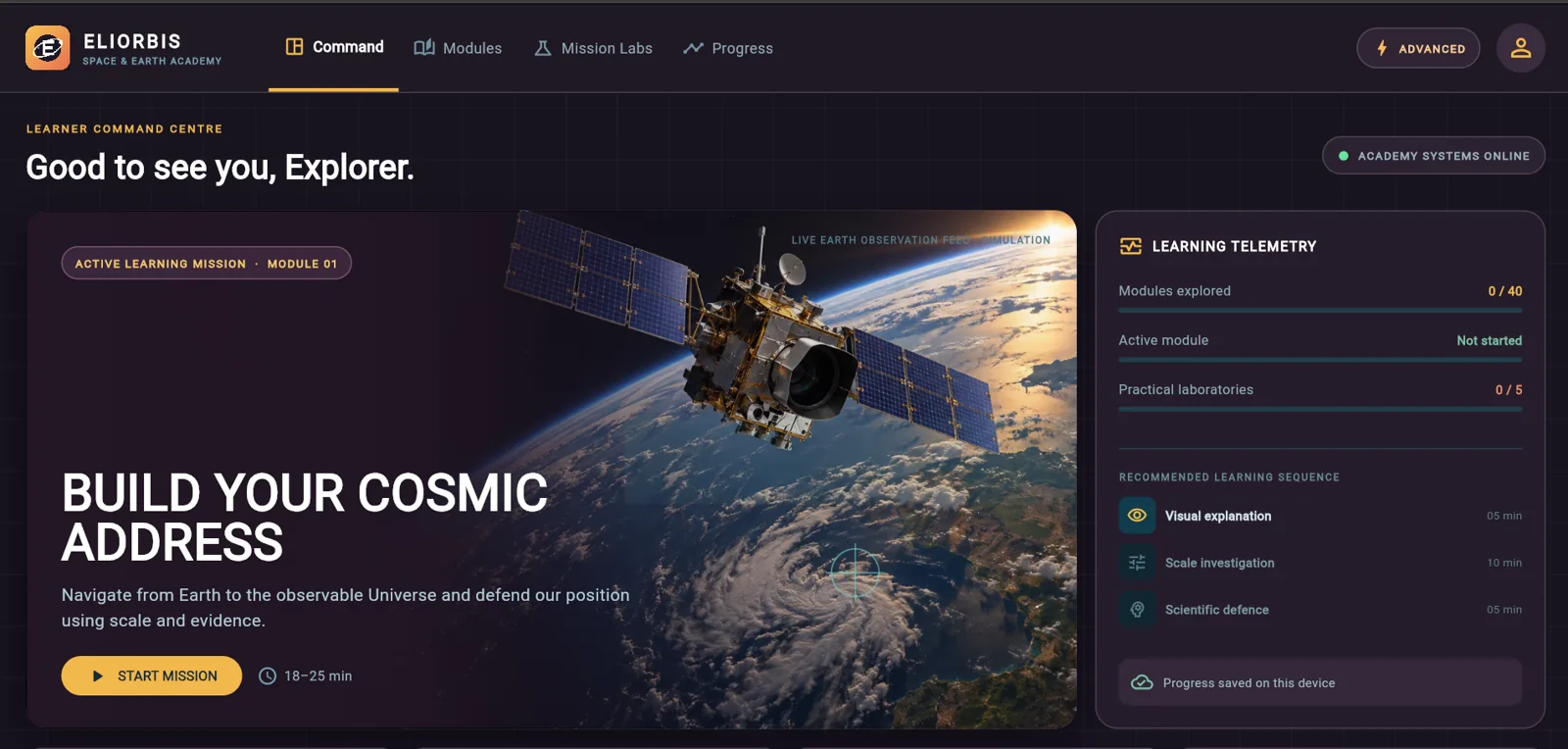
ABOUT ELORBIS
Science made accessible.
Evidence made useful.
Elorbis brings Earth observation, technology, research and space education together with a shared purpose: to make the science of our planet understandable and useful.
The idea behind Elorbis is to connect what we observe from space with what matters on the ground. Satellite measurements become more valuable when they are interpreted alongside field evidence and translated into clear maps, practical tools and informed decisions. Our work focuses on questions in agriculture, water, environmental change and hazards, supported by geospatial analysis and AI-assisted field workflows.
Through Elorbis Academy, we bring the same approach to learning. Visual explanations, interactive investigations and practical missions help students understand how satellites work, how images become information and how evidence supports a conclusion. Under the leadership of Founder & Director Niharika Samuel, Elorbis connects scientific practice with education and partnerships—helping learners and organisations explore beyond boundaries.
How we approach research ↗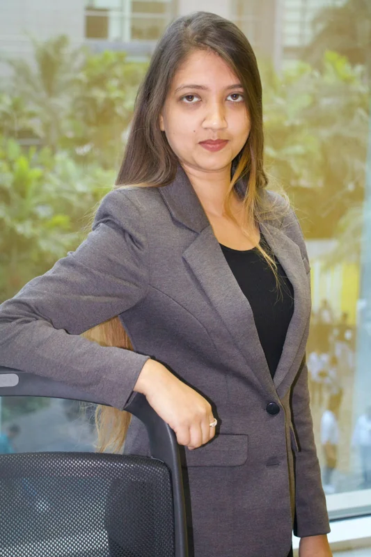
Niharika Samuel
Leading Elorbis across education, scientific work and partnerships.
CONTACT & PARTNERSHIPS
Work with Elorbis.
Discuss an Earth observation project, explore a research collaboration or introduce space science learning at your school. Tell us what you would like to achieve, and we can explore the next steps together.
Contact@elorbis.comFor parents and schools · Academy coming soon